2 min to read
AT Blog: Day 129
Short and Sweet

Day 129:
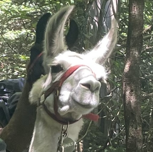
Start at Poplar Ridge Lean-to. Today I hike 20 miles just about. I say just about because this is one of the few days I forgot to take any notes on what happened. I do have a few photos and such but to be honest I forgot what all happened this day.
The reality of hiking for 10 hours a day everyday, days start to blend together really easily. That’s why I did this blog and did my best to journal everyday, but it was tough. Exhaustion and just wanting to eat and sleep when done, makes for poor conditions to want to write down everything that happened. In some ways I wish I had just done longer video journals each day.
So what do I know from this day, well I can backtrack somewhat. My father kept notes of when I texted them and when he learned stuff. I also took photos which if you don’t know, have time stamps and GPS coordinates on them. Using the two of those, I know I was at Lone Mountain, about 5 miles in by 10:30 AM. By 1 PM I was at a bronze plaque that marks the last mile completed when the trail was completed for the first time in 1937.
Neat little note about the history of the AT, there’s been multiple times it’s been completed. The first time was in 1937, where the “completed” trail often needed map and compass to find the trail. When WW2 broke out, large sections were abandoned, with many trail projects picking up again in the late 40s and in the 50s. In 1968, the national scenic trail system was established with the Appalachian Trail and the Pacific Crest Trail as the first two scenic trails. It wasn’t until 1971 that the AT had its entire trail marked again and properly protected from end to end.
Back to the topic of my hike. I also crossed 2000 miles later that day, near the south Branch of the Carrabassett River. I do remember the steep descent and the rocks I had to go around. Crossing the branch itself was fun, with just 2 by 4s laying across rocks. I suppose the river doesn’t flood that often and it’s much easier than building around boulders!
That night I decided to camp around mile 2006.9. After today’s notes, my other days all have notes attached to them, but it was good to reflect back on how I make these posts. I am proud I was able to journal for roughly 80% of the days I was out there, which has allowed me to keep my memories strong.
If you want to see all my photos and videos from my hike, I uploaded them on TikTok! https://www.tiktok.com

The plaque honoring the CCC for completing the project!

Comments